
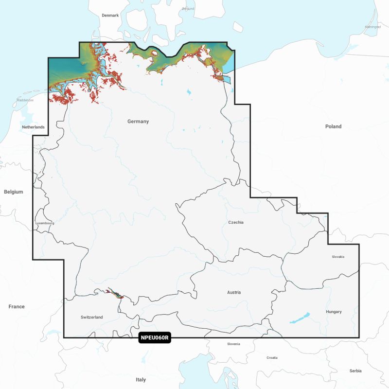
PLATINUM+ - EU060R - Germany, Lakes & Rivers, MSD

€234.00*
% €249.99* (6.4% saved vs. recommended price)1 in stock
Available, delivery time: 1-3 business days
Product number:
1980259
EAN:
8056780001135
Manufacturer product ID:
010-C1334-40
Please note that our English product descriptions are automatic translations from German. If anything is unclear, please contact us and/or double check the description by the manufacturer. Thanks for your understanding! - your Klabauter Crew
Product information "PLATINUM+ - EU060R - Germany, Lakes & Rivers, MSD"
Platinum+ Seekarten include the entire navy of Navionics+, but have been expanded to include additional display options, including Relief Shading, satellite overlay with Sonarchhart ™ shading, 3D view and panoramic images.
> The Navionics subscription
An annual subscription to daily updates and extended functions is included in the purchase of a new product.
After a year, renewal is possible at a reduced price.
> Cards and updates
- Seekarte - rely on comprehensive cards when driving boats that come from several official, public and private sources and present themselves in the well -known design
- Sonarchhart ™- Innovative Bathymetry cards with contours of 50 cm, which were created with proprietary Navionics systems
- Community Edits - Useful local information based on changes sent by users of the Navionics Boating app
Daily updates - up to 5,000 updates per day
> Extended functions
- Autouting from Steg to Steg - Start of the trip with route suggestions
- Sonarchhart ™ Live - Create your own cards
- Extended card functions - select your personal view options
- Plot Plotter Sync - Plan on the mobile device and transfer it to the plotter!
> Overlay
-Satellite overlay with Sonarchhart shading: for a better overview of both and under water. Check cover
- Relief Shading, for an easy -to -evaluation, clearer view of the soil structures. We use the best data available from our sources. In some cases, high -resolution data with low resolution is combined to create a more complete image. Check cover
> Platinum additional display options
- 3D view - to highlight important features
- panoramic images - for a better overview of the environment
> Cover areas
Select between very large cover areas or local limited map sections.