
Navionics+ Regular-MSD card 'Blank' for card download

€149.00*
% €159.99* (6.87% saved vs. recommended price)2 in stock
Available, delivery time: 1-3 business days
Product number:
1717201
EAN:
8056780000008
Manufacturer product ID:
010-13220-00
Please note that our English product descriptions are automatic translations from German. If anything is unclear, please contact us and/or double check the description by the manufacturer. Thanks for your understanding! - your Klabauter Crew
Product information "Navionics+ Regular-MSD card 'Blank' for card download"
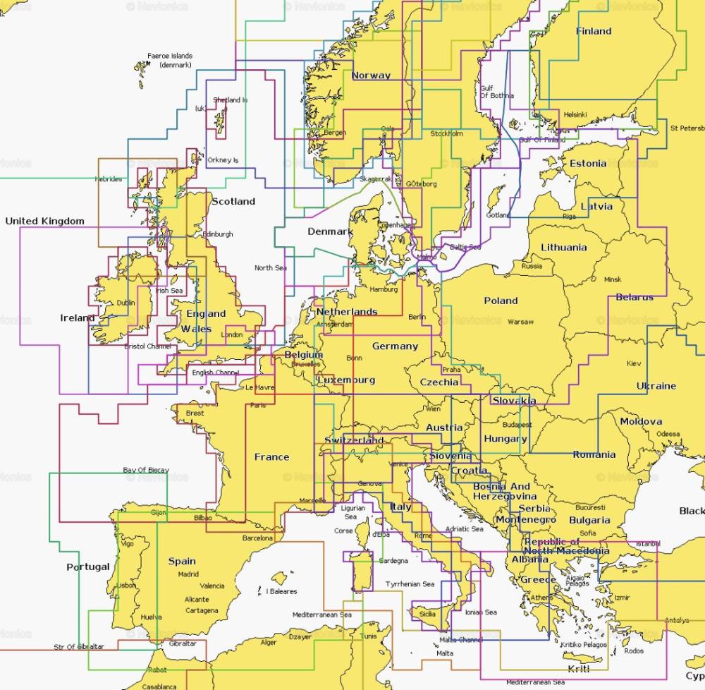
Do you need a small but very detailed map of your area?
If you buy this card, you will receive a special Navionics MSD/SD memory card, which then entitles you to download any small region.
The aid program for downloading the card data is called Chartinstaller and is available at www.navionics.de or down here in the "Downloads" section.
After logging in with your Navionics username, set the desired sea area and download the card data. From the day of the first download, you have 365 days "Freshestdata": Charge for free updates for a year as often as you wish.
Always the latest cards Data through Freshest Data
Insert your "Navionics+ Small Download" card in a PC, go to www.navionics.com and choose the desired area.
In addition, Sonarchharts ™ and Community Edits can also be downloaded free of charge.
The features include tides, currents, wrecks, port plans, port services and much more. Regardless of whether you are on the water or are planning an excursion - the Navionics cards bring you anywhere.
Navionics cartography is available on µSD card with SD adapter or as a compact flash card (CF).
When ordering, please make sure that you select the correct card type for your plotter!
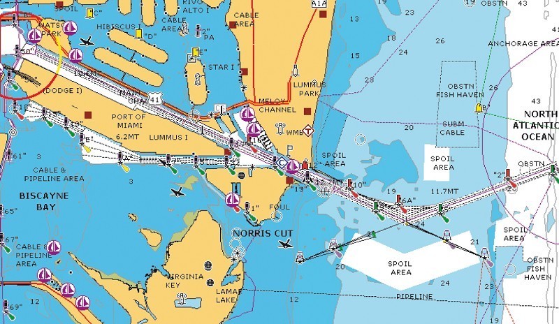
Navionics Sonarchharts ™ - Sonarchharts ™ is a user -definable, high -resolution card layer that is available for Navionics+ and Platinum+ cards.
Sonarchharts ™ offers highly detailed depth line map contents, which was created by integrating data from the water office with Navionics examinations and the echo displays provided by the Navionics community.
Navionics is the first company worldwide to introduce this system with map data provided by the community.
If you buy this card, you will receive a special Navionics MSD/SD memory card, which then entitles you to download any small region.
The aid program for downloading the card data is called Chartinstaller and is available at www.navionics.de or down here in the "Downloads" section.
After logging in with your Navionics username, set the desired sea area and download the card data. From the day of the first download, you have 365 days "Freshestdata": Charge for free updates for a year as often as you wish.
Always the latest cards Data through Freshest Data
Insert your "Navionics+ Small Download" card in a PC, go to www.navionics.com and choose the desired area.
In addition, Sonarchharts ™ and Community Edits can also be downloaded free of charge.
The features include tides, currents, wrecks, port plans, port services and much more. Regardless of whether you are on the water or are planning an excursion - the Navionics cards bring you anywhere.
Navionics cartography is available on µSD card with SD adapter or as a compact flash card (CF).
When ordering, please make sure that you select the correct card type for your plotter!
Navionics Sonarchharts ™ - Sonarchharts ™ is a user -definable, high -resolution card layer that is available for Navionics+ and Platinum+ cards.
Sonarchharts ™ offers highly detailed depth line map contents, which was created by integrating data from the water office with Navionics examinations and the echo displays provided by the Navionics community.
Navionics is the first company worldwide to introduce this system with map data provided by the community.